 Image: Danilo Cedrone (United Nations Food and Agriculture Organization) (public domain)
How a tag the size of a thumb tracks a tuna across an ocean
An archival tag is a sealed cylinder about the size of a thumb, with a stalk carrying a light sensor, and it is pushed into the body cavity of a tuna through a small cut that heals in a week. Inside, a battery, a memory chip, and sensors record light, depth, internal temperature, and water temperature every minute or two for up to several years. It has no transmitter and no satellite link. Everything it learns about where the fish has been it works out from the Sun, and it gives up its data only when the fish is caught and the tag is returned, which is why each one carries a reward notice in several languages.
Latitude from the length of the day
The light record shows a dawn and a dusk every day, and the time between them is the length of the day. Day length depends on the date and on latitude, and on nothing else, so if you know the date, the day length tells you how far north or south the fish is. The relation is the one used in every almanac. For a latitude \(\varphi\) and a solar declination \(\delta\), the angle \(H\) through which the Earth turns between sunrise and noon satisfies
\[ \cos H = -\tan\varphi \, \tan\delta , \]and the day length is \(2H\) converted to hours at 15 degrees per hour.
Suppose a tag records a day of 11 hours and 20 minutes on 20 February, when the Sun's declination is about \(-11^\circ\). Half the day is 5 h 40 min, which is \(H = 85^\circ\). Then \(\tan\varphi = -\cos 85^\circ / \tan(-11^\circ) = -0.0872 / (-0.194) = 0.449\), and \(\varphi\) is about 24 degrees north. The fish was at the latitude of the Bahamas.
The method has a known weakness. Near the equinoxes the day is 12 hours long everywhere, so the day length tells you nothing, and the latitude error balloons for a few weeks each March and September. Tags get around this by using the sea temperature as a second clue: the recorded surface temperature is matched against the satellite map of sea-surface temperature along the line of longitude, and the latitude where they agree is taken.
Longitude from the time of noon
The midpoint between dawn and dusk is local noon, when the Sun is highest. The Earth turns 15 degrees an hour, so every hour that local noon comes later than noon at Greenwich places the fish 15 degrees further west, and every four minutes is a degree. The tag's clock keeps universal time. If local noon on that same 20 February falls at 16:12 universal time, and the Sun crosses the Greenwich meridian at 12:14 that day (the equation of time puts it 14 minutes late in February), then the fish is 3 h 58 min, or 59.5 degrees, west of Greenwich. Put together, the tag says 24 degrees north and 59.5 degrees west, which is the open Atlantic east of the Bahamas, in the Sargasso Sea.
Longitude from this method is good to about half a degree. Latitude, away from the equinoxes, is good to one or two degrees. A degree of latitude is 111 km, so the position of a tuna is known to within about the width of a small country, which sounds poor until you remember that the alternative, before these tags, was a numbered plastic dart that told you two points: where the fish was tagged and where it was caught.
The tags that phone home
A pop-up satellite archival tag does the same recording while attached to the outside of the fish by a tether, and on a programmed date it releases itself, floats to the surface, and transmits a summary of its data to the Argos satellites over the following days. It does not need the fish to be caught, which matters for a species that can live for 40 years. It is larger, about the size of a small torch, and it costs several thousand dollars, so a study that deploys 50 of them is a serious investment. For animals that break the surface, sharks, turtles, and whales, a tag on the fin or shell can transmit a satellite fix each time it comes up, and the OCEARCH tracker shows those positions live.
What the tuna tracks showed
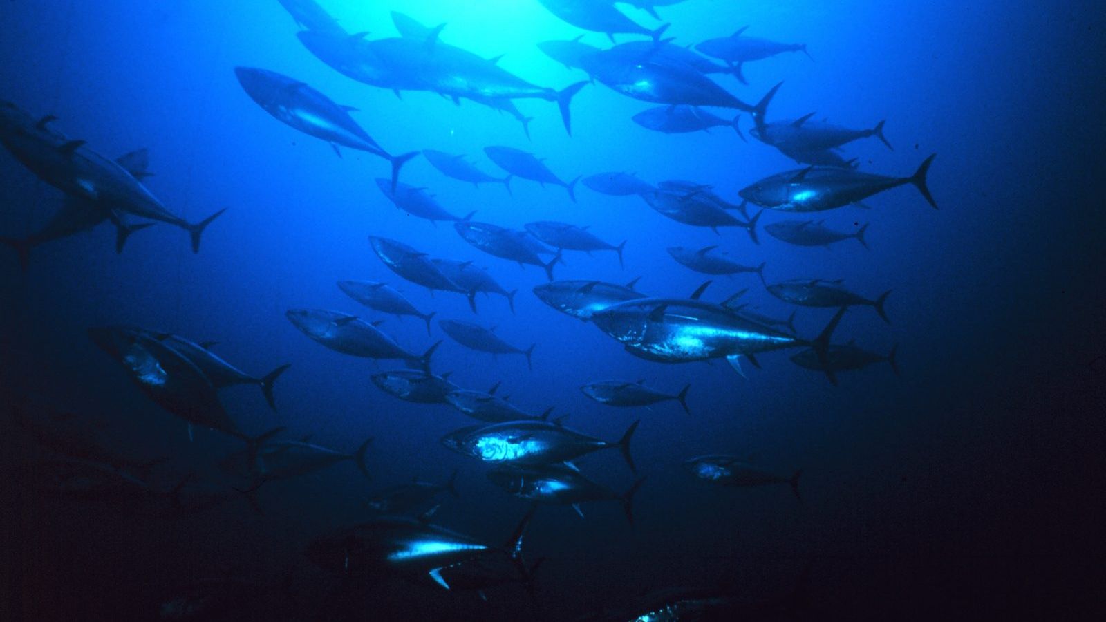
Barbara Block's group at Stanford University's Hopkins Marine Station tagged Atlantic bluefin tuna (Thunnus thynnus) off North Carolina and New England from 1996 onwards, with both kinds of tag. In 2005 they reported in Nature the results from 772 tags. Fish tagged on the same feeding grounds off the eastern United States split in the breeding season: some went to the Gulf of Mexico to spawn, others crossed the Atlantic to the Mediterranean, a crossing of more than 7,000 km, and the two groups mixed again the following year off North America. The two populations had been managed as if they stayed on their own sides of the ocean, with a boundary down the middle of the Atlantic, and the tracks showed that the boundary meant nothing to the fish. The western population, which is much the smaller, was being caught in large numbers in the east.
The same group's Tagging of Pacific Predators programme put more than 4,000 tags on 23 species between 2000 and 2009, and the summary, published in Nature in 2011, mapped the highways of the North Pacific: the California Current where tunas, sharks, seals, and seabirds converged each summer, and the long seasonal loops that took bluefin from Japan to California and back. The data are archived at the programme's website.
From points to maps
A track from a light-level tag is a cloud of uncertain points, one per day, with gaps near the equinoxes. Turning that into a line a fish might actually have swum takes a statistical model that knows how fast a tuna can move and how big the errors are, and the field has developed a family of them, called state-space models, that produce a most probable path with an error band around it. Unit 11 of the masterclass introduces the idea and then asks the question that matters for management: how do you turn a thousand such tracks into a map of where the animals are, month by month, that a fisheries agency can use to close an area?
Unit 11 of the Marine Biology Masterclass covers the great migrations, navigation by magnetic field and sky, the energetics of migration, and the whole family of tags, with the latitude and longitude calculations above as worked examples. Unit 12 uses the results in fisheries management. The full outline is in the curriculum.